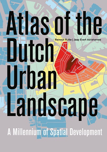
Atlas of the Dutch Urban Landscape, A Millennium of Spatial Development
| Prijs | € 69,50 |
| Taal | English |
| Bindwijze | Hardcover |
| Formaat | 25 x 34,5 cm |
| Omvang | 304 pages |
| Illustraties | 370 full colour illustrations |
| Verschenen | December 2015 |
| ISBN | 978 90 6868 690 6 |
Publication in cooperation with Cultural Heritage Agency, Amersfoort (NL)
The Netherlands is the most densely urbanized country in Europe. Its crowded landscape of greater and smaller, older and younger towns was formed in the course of a millennium. What were the roots of this urban landscape, and how did it develop? What do the urbanization histories of the Netherlands and the rest of Europe have in common, and how do they differ?
Between 1300 and 1700, the Netherlands developed from a peripheral region into Europe’s epicentre. Over one hundred port towns sprang up in the 13th and 14th century, mainly in the western peat and clay areas and along major rivers like the Rhine and the Meuse. When the Republic became a world power in the Dutch Golden Age, vast urban extensions materialized in towns like Rotterdam, Leiden and especially Amsterdam, where the world-famous Canal District was built.
A century and a half of dramatic decline followed, coinciding with the rise of England and France as the new global powers. Industrialization in the Netherlands first gathered speed after 1870. It generated unprecedented urban extensions in the old towns and an upsurge of new town formations. Industrial centres and residential towns sprang up along the new railway network. In the course of the 20th century successive Dutch governments developed an internationally renowned planning apparatus which in the context of the post-WWII welfare state churned out an endless series of motorways, housing estates and business parks at breakneck speed.
This book contains a comprehensive synthesis of a millennium of spatial development in the Netherlands. Series of maps, photos and paintings clearly illustrate processes of growth, stagnation and decline in Dutch towns and place them in an international perspective. The Atlas of the Dutch Urban Landscape is the first national overview of urbanization and urbanism and as such a potential source of inspiration for other nations in Europe and beyond.
In the media
“It is a wonderful resource, a very beautiful book (…) To my mind it is the perfect urban atlas and forms a grounding for more detailed analyses of individual towns or periods.”
Dr Terry R Slater BA, PhD, FRGS, Hon Senior Research Fellow, University of Birmingham, UK
